 Oregon
Oregon
Oregon
The Tualatin Ice Age Walking Trail is a self-guided tour through the suburban streets of Tualatin, Oregon, where evidence of the Missoula Floods hides in plain sight beneath lawns, parking lots, and city parks. The trail connects sites...
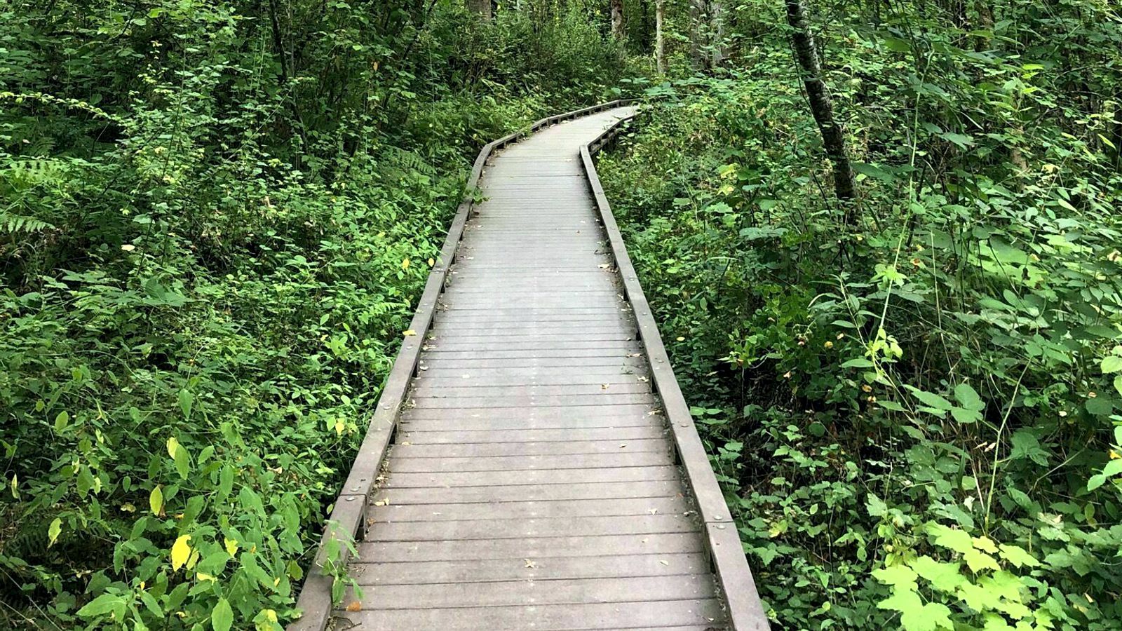
The Tualatin Ice Age Walking Trail is a self-guided tour through the suburban streets of Tualatin, Oregon, where evidence of the Missoula Floods hides in plain sight beneath lawns, parking lots, and city parks. The trail connects sites where glacial erratics, mastodon remains, and flood deposits have been discovered, revealing an ancient landscape of ice, water, and megafauna beneath the modern city. Seven separate tour routes guide visitors to interpretive signs explaining how the Willamette Valley was repeatedly filled to 400 feet above sea level by Missoula Floods backing up from the Columbia Gorge. The 'Raging Waters Tour' specifically focuses on the floods that carried erratic boulders here and shaped the Tualatin River through landslides and deposits. Water-themed sculptures, engravings, and ice age-inspired artwork along the trail connect the modern community to its extraordinary geological heritage. The trail also leads to spots where an actual mastodon and ground sloth were unearthed -- proof that between flood events, this valley was home to creatures straight out of a prehistoric epic.
Sometimes called the "Ice Age Tonquin Trail," this is a planned and partially built 22-mile bicycle and pedestrian network linking Tualatin, Sherwood, and Wilsonville, Oregon. Segments of the Tualatin River Greenway Trail are open today, including the section adjacent to the Tualatin Public Library with the Ice Age geologic timeline. The full network is still under development. Free; open daily.
The trail traces the flow path of repeated Missoula floods through the Tualatin Valley. Interpretive signage along the open segments includes a geologic timeline, replicas of fossils, and explanations of erratic emplacement and slackwater silt deposition. The Tualatin floodplain was inundated more than 40 times during the flood interval (Balbas et al. 2017 anchors the largest flood at 18.2 ka), reaching depths of approximately 400 feet at peak. Erratics scattered through the Willamette Valley, including the Bellevue Erratic (Yamhill County, west of McMinnville), trace to source rocks 400+ miles away in the Belt Supergroup of northern Idaho, hauled south frozen into icebergs.
No trail-specific scientific work located. The Willamette Valley Pleistocene Project continues to compile inventory and interpretive content related to the network.
The Lower Columbia Chapter participates in planning and outreach. The trail itself is a city/regional initiative led by Tualatin Parks and the Tualatin Ice Age Foundation, with NPS recognition as a partner trail.
Year-round walking and cycling; spring and fall are best. The Tualatin River Greenway segment alongside the library and Tualatin Commons is the most concentrated stretch of Ice Age content; start at the library and walk west.
Flood-extent overlay shows the maximum reach of the Missoula Floods.
The site in its place along the flood path, with the maximum flood extent drawn over the modern map.
View on the interactive map Searchable sites · 360° trails · flood reconstruction