 Montana
Montana
Montana
President Theodore Roosevelt established the Bison Range in 1908 to conserve the American bison, but the rolling hills these iconic animals roam were shaped by forces far older than any presidential decree. The range sits in the Mission...
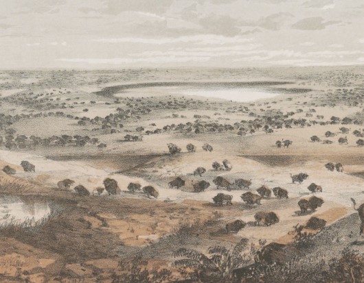
President Theodore Roosevelt established the Bison Range in 1908 to conserve the American bison, but the rolling hills these iconic animals roam were shaped by forces far older than any presidential decree. The range sits in the Mission Valley of western Montana, and much of it was submerged beneath Glacial Lake Missoula during the ice ages. Red Sleep Mountain, the range's highest point at 4,885 feet, jutted above the lake surface like an island, and the scenic drive to its summit offers spectacular views across what was once a vast inland sea stretching to the Mission Mountains. Old beach lines -- strand lines carved by lake waves -- are visible on north-facing slopes, and large glacial erratics sit near the old corrals, boulders dropped by melting icebergs. The visitor center near the entrance features displays and videos about Glacial Lake Missoula, alongside information on the Confederated Salish and Kootenai Tribes who now manage the range. The nearby Camas Prairie ripple marks and other flood features are easily accessible from this location. Watch a bison herd graze on grasslands shaped by ice age floods -- it is a scene that connects two of the West's most dramatic stories.
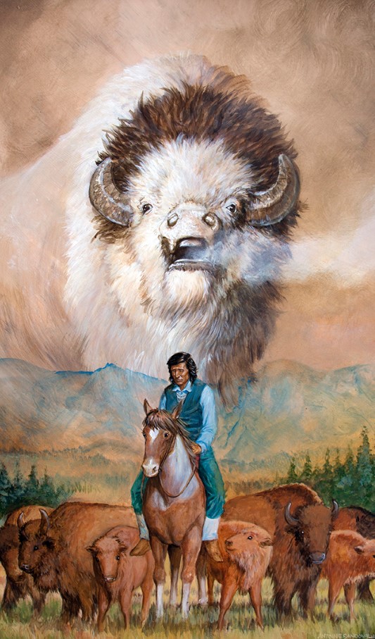
The Bison Range (formerly National Bison Range) was transferred to the Confederated Salish and Kootenai Tribes in trust in 2020 under Public Law 116-260, and CSKT assumed full management on January 2, 2022. It is now operated as a tribal nature reserve on the Flathead Indian Reservation. Day-pass admission is $20/vehicle ($35 for vans of 10+, $60 annual; free for CSKT tribal members). Summer hours are 7 a.m. to 8 p.m. at the front gate and 7 a.m. to 7 p.m. at the visitor center; off-season hours are 8 a.m. to 6 p.m. (gate) and 8 a.m. to 5 p.m. (center). Vehicles over 30 feet, trailers, motorcycles, ATVs, and bicycles are not allowed on the scenic drives.
The 18,800-acre range sits inside the basin of Glacial Lake Missoula. At peak stage (~4,250 feet above modern sea level) the Flathead and Mission valleys were inundated; Red Sleep Mountain, the high point on the range, protruded as an island. Strandlines (former lake shorelines) are visible on north-facing slopes within the range, and a few large erratics ride near the old corrals area. The Red Sleep Mountain scenic drive climbs to 4,885 feet and overlooks the lake basin. Camas Prairie's giant current ripples and other Lake Missoula features are within an hour's drive.
No updates found since the Balbas et al. (2017) chronology placing the largest floods at ~18.2 ± 1.5 ka. A Montana Tech 2023 release announced the first luminescence dates on flood-deposit gravel in Montana, refining outburst timing but not specifically tied to features on the range itself.
The Bison Range has a dedicated IAFI page and falls within the Glacial Lake Missoula Chapter's coverage. The CSKT visitor center includes displays about Glacial Lake Missoula. No standalone IAFI-branded interpretive panel on the range itself is documented in our sources.
May–October is best; the Red Sleep Mountain drive (one-way) opens seasonally. Two scenic drives and short hikes provide both wildlife (bison, elk, bighorn sheep) and flood-feature context. Allow at least half a day.


Flood-extent overlay shows the maximum reach of the Missoula Floods.
The site in its place along the flood path, with the maximum flood extent drawn over the modern map.
View on the interactive map Searchable sites · 360° trails · flood reconstruction